We had to meet the tour leaders in the lobby at 5:40 Saturday morning to get us to the ferry docks before 6. Of course we were there on time. We boarded the ferry around 6:30, and it debarked a little after 7.
It was quite foggy in the harbor, but I took a photo of the boat used on a TV show called "The Deadliest Catch" because Dianne said it was her nephew's favorite show. I know nothing of TV, absolutely not my thing.
The fishing boats headed out into the Prince William Sound as the fog began to lift.
Dianne and I played a lot of Scrabble on the boat, but took a break to see Frithjof's card tricks--he is really very good at this!
As the fog lifted further we could see glaciers and ice bergs. A woman with binoculars said she saw some whales but they were too far out to see with the naked eye.
A boat passed in front of Billings Glacier while we were looking for whales.
We arrived at Whittier Harbor, and got right in line to go through the tunnel to get back to Anchorage. The tunnel was built as a train tunnel in the 1940s when Whittier was an important harbor during World War 2. About 20 years ago it was adapted to allow cars to drive through it. (Before the adaptation cars would be loaded on flatbed railroad cars to be transported to Whittier).
Now cars and trucks (and lots of motor homes) drive right on the railroad tracks and one way traffic is controlled by operators, with trains taking precedence.
We arrived back at Anchorage around 1:30 PM and received our Alaska Bike t-shirts. Here we are: Jackie, Clark, Connie, me, Dianne and Phil.
After our guides left us at the Marriott the 6 of us walked across the street to eat lunch and watch the sea planes land and take off from Lake Hood. We exchanged contact information and I hope we all stay in touch.
I'd been trying to get a photo of Flat Top Mountain, which I climbed the week before the bike tour, and finally took one through the glass at the airport. It is the flat topped one second from the right below.
We took an overnight flight from Anchorage to Minneapolis/St. Paul and it was horribly cramped. There was a very large woman next to me encroaching on my skinny space--I tried putting the arm rest down but she was in the way. When I returned from the rest room mid-flight I put the arm rest down BEFORE she got back into her seat and that worked better. Dianne and I played a few games of Scrabble but the seats were so small that it was nearly impossible to move.
We had a breakfast sandwich in MSP airport, then took a short flight to Detroit where our luggage did not come out on the carousel. We went to the lost luggage office and it was already there; apparently it was loaded on an earlier flight. Bill picked us up around noon and took us to lunch. Dianne bought lunch and drinks for Bill and me, and paid the rest of her substantial Scrabble debt in cash. Just remember: it was her idea to play for a penny a point!
We took her back to the airport for her flight to Tampa, and now I am home for 4 days. And it's true--there's no place like home!
Showing posts with label 2015 Alaska. Show all posts
Monday, July 20, 2015
Sunday, July 19, 2015
July 17, 2015. Glennallen to Valdez, AK. 59 Miles.
We pumped up my tires again this morning, got on the bikes and rode out of Glennallen. There was a moose there, but not exactly what we were looking for.
We lined up for a photo after discussing our "road names" similar to trail names that hikers give themselves. Someone named me "go Linda go". I named Phil "Vivaldi" but some of the others had already called him "schwarma". Jackie is "Rocky". Connie is "Sweet Pea", Clark is "Carlos". I called Dianne "What" and it took me all day to come up with aliases for our guides. Below right is Steve, whom I named "Swamp Man" (a play on words using letters from his first and last names) and Frithjof (not in photo) is "the Viking" due to his Norwegian heritage.
It was a beautiful ride this morning as we left the Alaska Range and could see the Wrangells off to our left and the Chugach Mountains on our right and looming ahead of us. The wind was as predicted--head on and blowing at a steady 18 MPH with gusts up to 28 or 30 MPH,
Right before the first rest stop I had a flat tire. The bikes we are riding do not have spare tubes, pumps, or any tools on them. Jackie passed me in the fierce gusting headwind and sent Frithjof back with a tire kit. By the time he arrived I had removed the wheel, taken the tire off and removed the small sharp stone that caused the flat.
Frithjof changed the tire and we rode to the rest stop. The guides suggested that we drive to the next stop and ride back here with the wind behind us. It was a hilly wet ride in the mountains and the fact that Frithjof did not take off his helmet while driving made us wonder if we should put ours on!
It was gusty and rainy when we got to the next scheduled stop; only Phil and Jackie got on the bikes. The rest of us were worried we would launch off the edge of a bluff so we stayed in the van until we reached a viewpoint for the Worthington Glacier. We got out of the van there and read the instructional placards and took a few photos.
We drove back north to meet the 2 riders and have lunch, and while we were eating the van was rocking from the wind. We all piled into the van to drive back south to the point from which they'd just rode. Then Phil took off into the wind and rain with Frithjof sweeping.
We were all worried about them out there in the fog. Steve drove past Thompson Pass to find a place to park the rig, so Dianne, Jackie and I hiked back up to the pass.
Soon enough Phil and Frithjof were there. I was freezing walking in the cold wind and rain--not sure how Frithjof manages to do this in shorts and no jacket!
They loaded the bikes and got in the van--it was too dangerous to attempt the descent in the rain and fog and nearly invisible to the drivers. Once we drove down low enough to get out of the fog we all got on the bikes to ride into Valdez.
It was raining lightly when we started into Keystone Canyon. It was a beautiful ride, with mountains on both sides of us.
I stopped to take photos of Bridal Veil falls and Horse Tail Falls within the canyon.
We came down into the flats after about 10 miles, then got on the bike path for about 10 more miles. Fortunately Frithjof was behinds us and could show me where the different colors come together in the river--the grayish stream is from a silty runoff and the bluish one is from a mineralized rocky runoff, the colors picked up in the melt from the glaciers.
And then we were there! We were all cold and wet but ever so glad that we rode the last leg of this bike journey. Dianne and I did our usual triumphant high five, and we were all laughing and clapping each other on the back while the guides started taking seats and pedals off the bikes.
We vanned into town, checked into our hotel to get clean and dry, and then walked to dinner. We discussed getting together again to ride and I really hope we make it happen.
Connie and Clark, above, live in Virginia. Dianne is from Florida and Phil from Ohio.
Jackie (on the right) is from Colorado, and our guides Steve and Frithjof both live here in
Alaska.
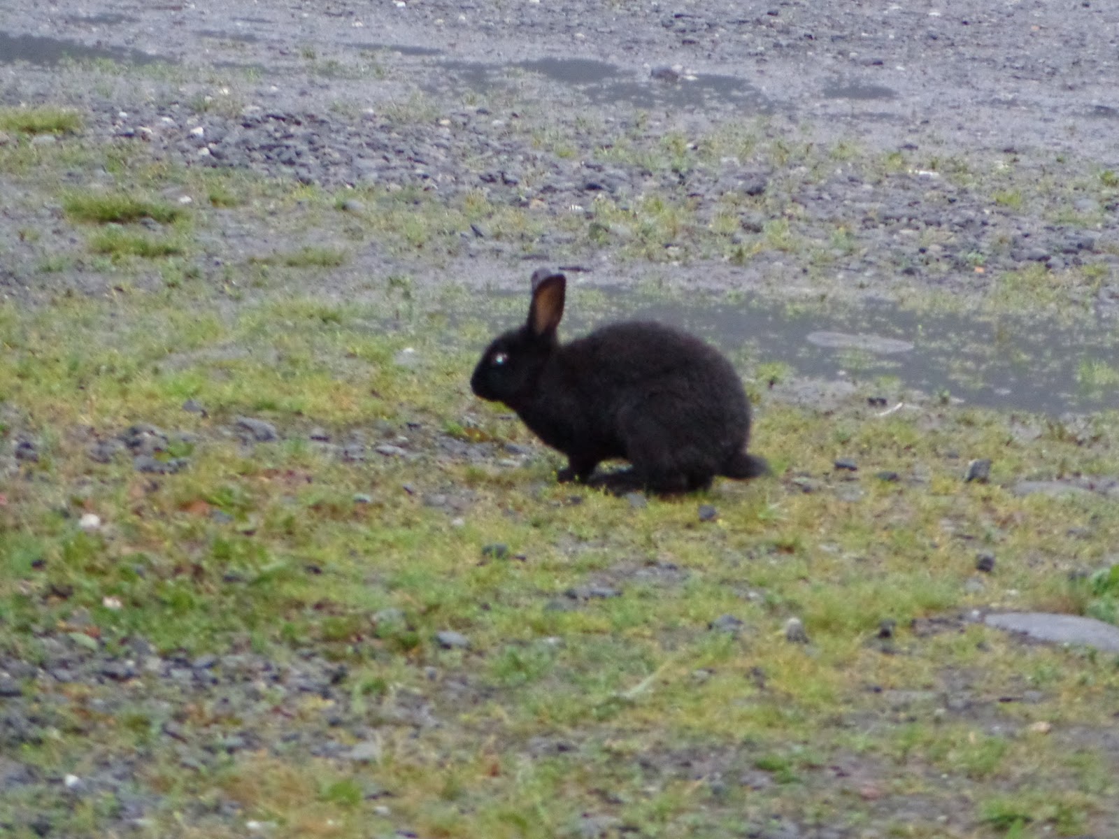
It was a long pleasant dinner and we saw lots of bunnies on our walk back to the hotel. They live all over town, descendants of domesticated rabbits that were turned loose generations ago. This is an interesting place!
Saturday, July 18, 2015
July 16, 2015. Tangle River Inn to Glennallen. 78 Miles.
This day started out on the very hilly Denali Highway. Below you can see Steve unloading the bikes so we can ride out from the Inn. It made the moms among us crazy seeing the guides walking up and down the unsecured ladder with a bike in one hand!
Steve told us today was to be the most challenging day of the tour. Ha! I am finding this tour the most challenging bike trip I have ever done! There were some steep grades right away--the below photo was taken just a few miles from the start of the ride. It did not get any flatter as the day went on!
Look closely at the photo below to see Denali Highway ahead of us, taken from the hill I was cresting in the photo above.
I asked Steve to adjust my brakes at the first rest stop, about 8 miles into our ride. It's not a very good feeling to be hurtling downhill with brakes that don't work very well! We could see the Alaska range all around us, including the Gulkana glacier below, photo taken from the first rest stop.
We turned off Denali Highway on to Richardson Highway after 21 miles. It was then that the full force of the wind hit us. Our lunch stop was about 34 miles into the ride, and it was there that Connie decided she'd had enough--she is a very small person, more susceptible to the gusting headwind.
The rest of us continued on our way after lunch. The Richardson Highway had wide shoulders much of the time; for the most part the drivers have been courteous of us whether there is a shoulder or not. Much of the traffic consists of motor homes and large double-bottom tankers.
There are not many rest stops along this highway, but at least the people here have a sense of humor!
Dianne and I decided we'd had enough buffeting by the brutal wind after riding 60 miles. Clark and Jackie continued on for another 10 miles, and gratefully got in the van at the last rest stop. Once again Phil was the only one to finish the ride (78 miles). Of course it had started raining by that time. The van picked us up as it moved forward toward our dinner destination, a rustic lodge in Tok.
After dinner we drove to the small town of Glennallen where we checked into our motel for the night. It was already 9 PM when we got there, still broad daylight. We could hear the wind howling long into the night.
July 15, 2015. Delta Junction to Tangle Lakes. 70 Miles.
This day started out sunny and bright! We all got in the van to go to breakfast, where we saw these motorcycle seat barstools--cool! We had a great breakfast and lots of coffee.
We vanned out of town through a very long construction area. We were glad to be in the van--if we had been on bikes they would have trucked us forward anyway.
Our first scheduled rest stop was at an overlook for the pipeline. Construction began in 1975, and the 800-mile long pipeline opened in 1977 to pump oil from Prudhoe Bay to Valdez. It is buried underground wherever possible but some sections are visible.
Steve insisted we each sit on top of the "do not climb" sign on the pipeline.
We came within view of another section of the Alaska Mountain range today, I looked forward all day to arriving at the continental divide; Jackie had commented earlier in the week how odd it was that the rivers were running north. Once we reach the divide we will see rivers running south again.
Dianne, Connie, Clark, Jackie and I all got in the van when we reached the continental divide--it was raining so hard we couldn't see a thing! Of course there was a headwind too. All the way up to Isabel pass we struggled against the wind and the climb, only to give up at the top. Phil continued on alone (actually he was so far ahead that he didn't even know we'd given up). He found shelter in a shack in the nearly abandoned town of Paxson, and that's where we found him, talking on his cell phone. We turned off the Richardson Highway and drove 21 miles on the Denali Highway to get to our day's destination, Tangle River Inn. On the way there we saw a moose cow and her calf in a lake not far from the road.
The cabins did not have numbers, just animals on the wall to identify each room. We had dinner there (the only restaurant within many miles). It finally quit raining and I took this photo looking across the road from the inn.
We vanned out of town through a very long construction area. We were glad to be in the van--if we had been on bikes they would have trucked us forward anyway.
We saw our first view of the Trans Alaska pipeline on its own suspension bridge.
Our first scheduled rest stop was at an overlook for the pipeline. Construction began in 1975, and the 800-mile long pipeline opened in 1977 to pump oil from Prudhoe Bay to Valdez. It is buried underground wherever possible but some sections are visible.
Steve insisted we each sit on top of the "do not climb" sign on the pipeline.
We came within view of another section of the Alaska Mountain range today, I looked forward all day to arriving at the continental divide; Jackie had commented earlier in the week how odd it was that the rivers were running north. Once we reach the divide we will see rivers running south again.
Dianne, Connie, Clark, Jackie and I all got in the van when we reached the continental divide--it was raining so hard we couldn't see a thing! Of course there was a headwind too. All the way up to Isabel pass we struggled against the wind and the climb, only to give up at the top. Phil continued on alone (actually he was so far ahead that he didn't even know we'd given up). He found shelter in a shack in the nearly abandoned town of Paxson, and that's where we found him, talking on his cell phone. We turned off the Richardson Highway and drove 21 miles on the Denali Highway to get to our day's destination, Tangle River Inn. On the way there we saw a moose cow and her calf in a lake not far from the road.
The cabins did not have numbers, just animals on the wall to identify each room. We had dinner there (the only restaurant within many miles). It finally quit raining and I took this photo looking across the road from the inn.
Subscribe to:
Posts (Atom)